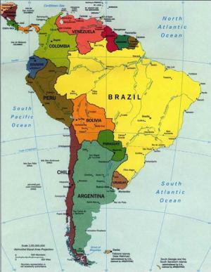
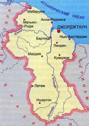
Guyana on the map of South America
Guyana is almost unnoticeable on a map of South America. In the north-eastern South America, sandwiched between the Atlantic Ocean with a Eber, from the east by Suriname, Brazil and Venezuela in the south west is a small country. The total area of 215 square kilometers of Guyana
Most of the country, about 85% of this impenetrable evergreen forests of the jungle.
The climate of the northern man is hot and humid. Scientifically: sub-equatorial (average temperatures at the coast - from 27 to 32 C), the higher mountains in the cooler.
There are rainy seasons. They say their is two. One runs from April to August and the second from November to January. I do not know, was driven to us or not. But that year, while we are here, the rains were only temporary.
Guyana in the language of local Indians means "a country of many waters." There are many lakes, rivers and waterfalls. It seemed, would, ocean, sand, beaches, tourism. Yes. That's what I thought when going here. But ... the Atlantic Coast waterlogged and covered with mangroves, so the beach areas may have, but I have not seen it. Yes, even if they are, then .... The water in the coastal waters of the muddy clay color, due to flowing out of the jungle rivers, carrying leaves and overripe clay with sand. Not swim beckons.
Guyana on the map of South AmerikiEstestvennye attractions of the country, particularly its relatively pristine natural world, are the main "attraction" for foreign tourists.
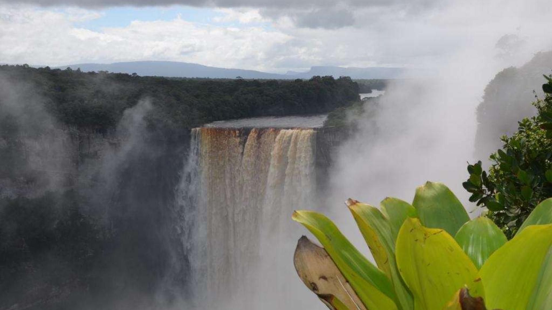
Guyana has immense waterfalls, extensive river system, vast areas covered with virgin tropical forest and savannah, teeming with wildlife. Guyana could be a place eko-tourism of the future, if only someone would give trouble to develop this industry.
Inland areas remain unto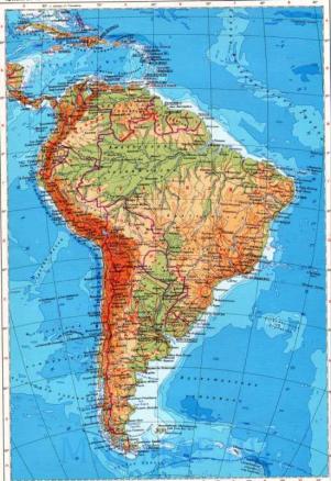 uched virgin jungle world. I've never experienced the power of Europeans, there is absolutely no production and civilization. Although these places and threatened in recent years widespread uncontrolled gold mining and logging.
All major towns and cities including the capital Georgetown, located in the coastal strip.
Georgetown - the capital and largest city in the country, is located on the east coast at the mouth of a large bay Demerrara formed by fusion of the large rivers Essequibo and Kuiun.
In the west are the sandstone plateau with steep, steep edges. The highest point in the country - Mount Roraima (2875 m). Rivers, starting with the sandstone plateau, with cascading boundary ledges, forming a majestic waterfalls, including Kaieteur (226 m).
Guyana on the map of South Coast in the past AmerikiVdol located moist savanna. Today it is a plantation areas. The slopes of the sandstone plateau, as well as the area occupied by dry Rupununi savannas. In the forests of the interior of Guyana, grows a lot of valuable trees, which are used in the manufacture of furniture often stunning beauty of handmade, and building materials. In these areas, mined gold, diamonds, manganese and bauxite, a raw material for aluminum production.
Agrarian country, the main production - sugar and rum famous Guyanese "Eldorado".
The length of roads - 7970 km, of which only 590 km. are paved. Much of the movement throughout the country, because of the huge number of rivers - by boat. River Berbice, Demerara and Essequibo are navigable for ocean-going vessels for tens of kilometers. Major ports and harbors: Georgetown, Bartik, Linden, New Amsterdam, Parikh. In Guyana, 49 airports, of which only 8 have a track with a hard surface.
In the summer time, behind Moscow for 8 hours in winter - at 7:00.
- Log in to post comments

